Informing planning of infrastructure affecting cultural heritage
Last updated on 2026-07-28 | Edit this page
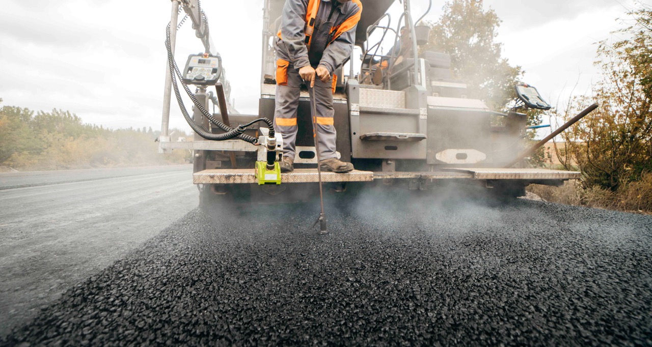
© di andrew_shots. Road service build the
highway
Summary
The development of infrastructure around cultural heritage sites presents a complex balance between improving access and safeguarding fragile assets. New transport links and utilities can increase visitor numbers and bring economic benefits to local communities, particularly through tourism. However, these same developments can place significant pressure on heritage sites, leading to physical damage, erosion, and the risks associated with overtourism. Decision-makers often lack a holistic view of how planned or future infrastructure projects will interact with both existing and potential heritage sites.
ADS Datasets
HS2 Heritage Spatial Archive
- Collection - High Speed Two Ltd. (2024) HS2 Heritage Spatial Archive [data-set]. York: Archaeology Data Service [distributor] https://doi.org/10.5284/1118851
- Part of a parent collection - High Speed Two Ltd. (2023) HS2 Historic Environment Digital Archive [data-set]. York: Archaeology Data Service [distributor] https://doi.org/10.5284/1113008
- Associated data paper - Aryankhesal, F.F. 2023 ‘HS2 Phase One: Heritage GIS Digital Archive (Data paper)’, Internet Archaeology, HS2 publications. https://doi.org/10.11141/ia.hs2.1
- DAFNI upload - HS2 Heritage Spatial Archive - LiDAR survey and GIS data.
A14 Cambridge to Huntingdon, Cambridgeshire Improvement Scheme: Digital Archive for Archaeological Works
- Collection - MOLA Headland Infrastructure (2025) A14 Cambridge to Huntingdon, Cambridgeshire Improvement Scheme: Digital Archive for Archaeological Works [data-set]. York: Archaeology Data Service [distributor] https://doi.org/10.5284/1081262
- Associated monograph - West, E., Christie, C., Moretti, D., Scholma-Mason, O. and Smith, A. 2024 A Route Well Travelled. The Archaeology of the A14 Huntingdon to Cambridge Road Improvement Scheme, Internet Archaeology 67. https://doi.org/10.11141/ia.67.22
DAFNI Datasets
CGFI
- Road and Rail networks derived from OpenStreetMap (United Kingdom) CGFI-GRI https://facility.secure.dafni.rl.ac.uk/data/details?dataset_id=2f738469-f946-404b-b7e2-1693f[…]fd23&metadata_id=e1e2cf89-cc60-4931-a048-21f4d85440e5
- Residential population density map: past and projected (United Kingdom) CGFI-GRI https://facility.secure.dafni.rl.ac.uk/data/details?dataset_id=ea5d9b8c-ad63-4c5f-a499-c70f5[…]22b6&metadata_id=b72a72ec-9a24-4b39-bc4c-66d7584b9384